|
Welcome to Ogmore and Ogmore-by-Sea |
![]()
![]()
![]()
![]()
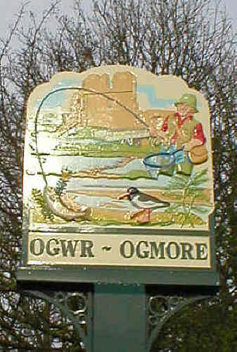
Ogmore-by-Sea overlooks the Bristol Channel and Somerset/Devon coast. It can be reached via St. Brides Major (B4265) and Southerndown (B4524), but the journey outlined here starts at the other end, travelling through Ogmore!
Take the B4265 until you reach the village of Ewenny, then turn
onto the B4524 towards Ogmore. After you
go under the narrow railway bridge the road will begin to widen and you
might not notice when you are on the bridge that crosses the Afon Alun (River
Alun) where it joins the Afon Ewenni (River Ewenny) just before you reach Ty
Maen Farm unless there has been heavy rain and the
flood plain is doing its job.
A little bit further along, is The Watermill pub and restaurant on the right hand side. This is the site of Ogmore Mill where grain was taken to be
ground into flour; a small stream came from the Afon Alun via a weir to power
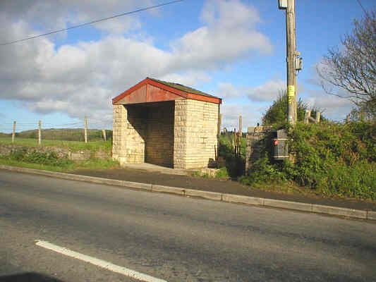
the wheel. Carry on past the old Schwyll Water Pumping Station on the left.
After crossing the cattle grid you will start to see more of the
wonderful countryside – and maybe some of the many sheep which graze freely
and wander across the road at will!
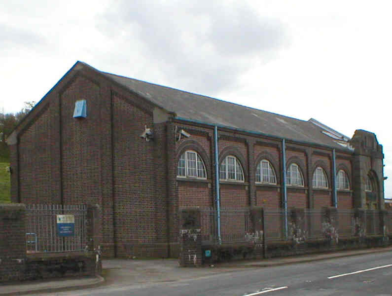
Schwyll Water Pumping Station
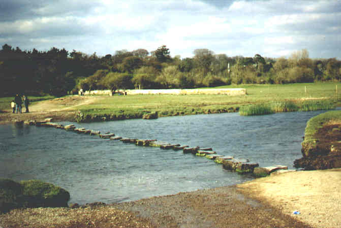
Over the fields on the right can be seen the ruins of Ogmore Castle* which are near Ogmore Farm, the thatched Star Cottage and the Riding Stables where you can arrange to go pony trekking. Turn right at the inverted Y junction onto the small access road which, as you travel towards the river, is deceptively narrow at the bend. Beware of leaving your vehicle for any length of time near the stepping stones at Ogmore Castle because several times a year when the tide is high the river can burst its banks and flood the car park and water has been known to reach as far up as the gated entrance to the castle grounds.
* Cross the ancient stepping stones at Ogmore Castle with great care as the currents can be very dangerous. Check tide times and be extra vigilant when there has been exceptionally heavy rainfall, bearing in mind that many local streams feed into the Ogmore and Ewenny rivers which can become swollen very quickly and are known to flood the area from time to time. The footpath on the other side takes you to the village of Merthyr Mawr; after crossing the river, walk 600 yards north eastwards across the suspension bridge.
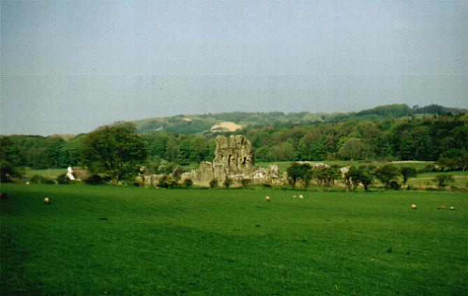
Left photo: Ogmore Castle from road with Merthyr Mawr sand
dunes in distance
Right photo: Stepping stones near Ogmore Castle
An alternative pedestrian route to avoid the stepping stones can be accessed by returning to the main road and turning left towards Ewenny; at the bus stop approximately 440 yards away (by the cattle grid) take the Merthyr Mawr Coastal Path; go up the steps and over the footbridge; cross the field; go over the suspension bridge (this is still known locally as the Swing Bridge from the days when that's precisely what a previous bridge did to a worrying degree!); walk through the car park; it is then approximately 150 yards to Merthyr Mawr village.
Bus stop and entrance to Merthyr Mawr coastal path to avoid
Stepping Stones;
this route includes steps to cross a concrete footbridge
A narrow turning on the left alongside the Pelican Pub takes you up to the magnificent fairways of Southerndown Golf Course with its commanding views of the whole area. As you follow the River Ewenny it joins the River Ogmore and the road starts to climb. Just after the signpost for Ogmore-by-Sea, a sharp turning on the right takes you down to the car park and beach.
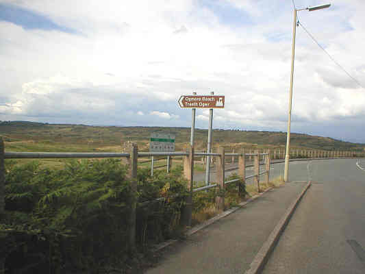
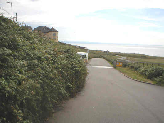
Left photo: Approaching the turning for Ogmore beach from Southerndown
Right photo: Road leading down to Ogmore beach
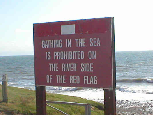
Owing to the crosscurrents and undercurrents formed by the river flowing under the tide, it is extremely important to only bathe on left side as you face the sea, AWAY FROM THE RIVER. At low tide the river can appear deceptively shallow and becomes deeper very quickly as the tide turns. A red flag flies permanently to mark where it is unsafe to swim. To watch the RNLI lifeboat go to the aid of a child swept out to sea at Porthcawl then rescued from Ogmore-by-Sea visit www.youtube.com website.
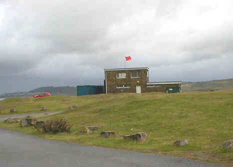
Left photo: Lifeguard Station, Ogmore-by-Sea, with permanent
red flag flying on river side
Right photo: Notice advising that bathing is prohibited on the river side of the
red flag
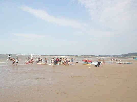
In 2012 the RNLI increased their patrols to include safety cover for Ogmore-by-Sea beach from the end of July to the beginning of September. Lifeguards have been employed every year by the Vale of Glamorgan Council to patrol (between approximately 10.00 am and 6.00 pm) for eight weeks during July and August, who have stayed later at particularly busy times. During the rest of the year the beach is patrolled on a voluntary basis by the local lifeguard club, usually at peak times; however there is no permanent lifeguard service. When the rivermouth and beach area is patrolled, additional flags are flown on the beach and/or the lifeguard station to reflect this. Tide times are usually also on display. RED FLAGS MEAN DO NOT ENTER THE WATER Red and yellow flags denote a patrolled bathing and body boarding area and you should only swim within the boundary they mark. Black and white flags denote the boundary for surfers and non-powered craft such as kayaks. An orange windsock shows offshore winds or unsafe water conditions.
Left photo: Looking towards land - flags are flying to
denote that the beach is being patrolled
Right photo: Competition day with black & white flags flying to denote surfing
and kayaking area
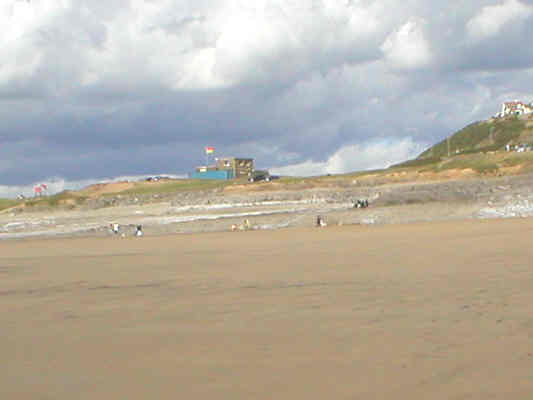
There are many rock pools
and plenty of sand when the tide is on its way out.
It is very rare for the water to reach the car park – this only happens
when the Atlantic gales blow in.
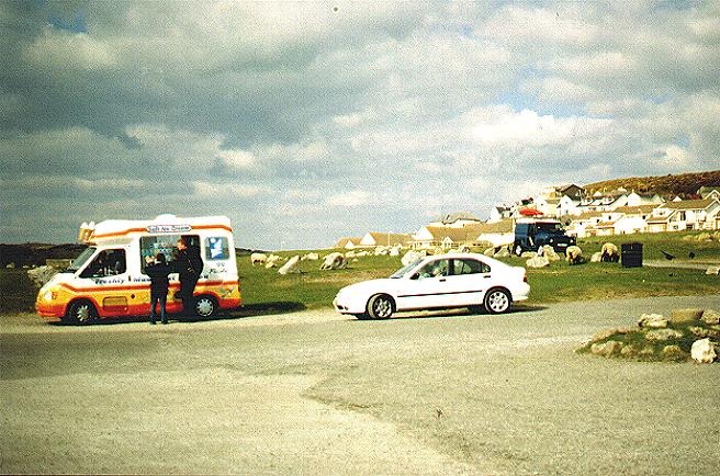
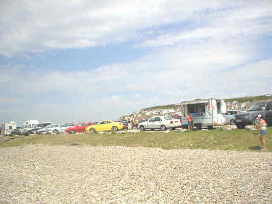
Ice cream van and fast food van
When the tide is out,
Tusker Rock
can be easily seen. This
rectangular reef of carboniferous limestone has an area of approximately 70
acres and lies about a mile offshore. The
depth of the water between Tusker Rock and Ogmore-by-Sea is no more than 25
feet/7 metres. Many vessels have been
wrecked or stranded here and it is said that it is the presence of this
obstruction which prevented Ogmore from becoming a major port, as it has been so
hazardous to shipping.
Tusker Rock
As you continue along the main road
and up the hill the road will start to level out and you will come to a cul-de-sac
on the left hand side that leads to
Ogmore-by-Sea Evangelical Church* and
just past this turning there is a small parade of shops
where you will find a
General Store & Post Office,
craft shop, Iain & Hilary's Caf
* At the top of Church Close turn left; the Church is on the right.
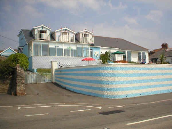
Left photo: House in
Ogmore-by-Sea subject to a make-over by Alan Titchmarch in 2005
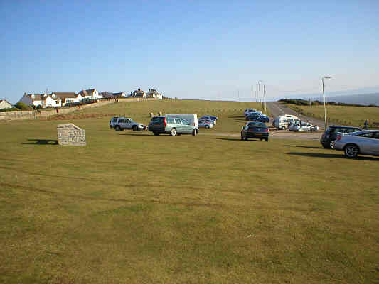
Right photo: Car park off B4524 near
Craig-yr-Eos Bay
The road then leaves
Ogmore-by-Sea and winds it way overlooking the sea until you enter Southerndown.